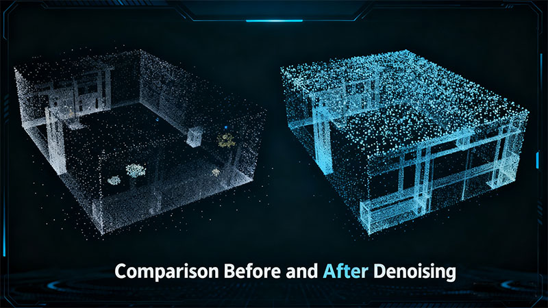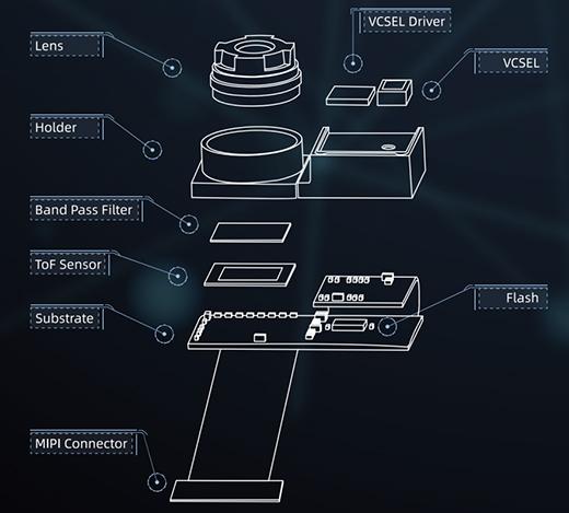


LiDAR and Time-of-Flight (ToF) are overlapping terms, not opposing measurement principles. LiDAR describes a light-based ranging system. ToF describes one way to estimate distance from the travel time of light. A pulsed LiDAR can therefore be a direct-ToF system. Some LiDAR architectures use other methods, and a ToF device does not have to build a scanned point cloud.
Why the names are often confused
“ToF sensor” can mean a single-point rangefinder, a multi-zone receiver, or a depth camera. “LiDAR” may describe a scanning instrument, a solid-state array, or a complete system with optics and processing. Both can use near-infrared laser illumination; contrasting “laser” with “infrared” is incorrect because a laser can emit infrared light. Wavelength, optical power, and eye-safety classification depend on the exact product, not the label.
What should an engineer compare?
| Question | Relevant design choice |
|---|---|
| How much space is measured? | One distance, several zones, a per-pixel depth image, or a scanned point cloud. |
| How is distance estimated? | Direct pulse timing, phase measurement, or another ranging architecture. Check ambiguity and invalid-return handling. |
| How far and how accurately? | Use the same target reflectivity, ambient light, angle, frame rate, and error definition for every product compared. |
| What is the integration cost? | Field of view, mounting, calibration, interface, power, size, data rate, and the processing required by the application. |
ToF camera versus scanning LiDAR
A ToF camera usually reports a depth value for many image locations in its field of view. A scanning LiDAR gathers range samples across angles and produces a point set or scan. Those are useful output distinctions, but they do not establish a universal range, price, or accuracy ranking. There are solid-state LiDAR designs and cameras with different illumination and receiver architectures, so compare actual outputs and specifications rather than treating every camera as “flash” or every LiDAR as mechanical.
Which should you choose?
Start with the task. A short-range presence detector may need only one range value. Parcel dimensioning or manipulation may need a calibrated depth image. Mapping a larger space may need a wider field of view or a scan. Then test the shortlisted devices on dark, shiny, angled, and partly occluded targets under representative sunlight and temperature. Record valid-return rate, distance error, latency, and power alongside range. Neither “LiDAR” nor “ToF” alone proves suitability.